blog
Book Review: American Geography: Photographs of Land Use from 1840 to the Present

Joel Meyerowitz, Roseville Cottages, Truro, Massachusetts, from the series Cape Light, 1976
The 345 photographs in American Geography (divided by regions) address ways in which different histories and traditions of land use have given rise to different cultural transitions, such as the growth of industry in the Northeast, agricultural developments in the Midwest, the legacies of slavery on the economies of the South, and the mining of natural resources as well as environmental crises in the West. Many of the photographers and writers included in American Geography also address how particular aspects of land use in the US, including the displacement of indigenous peoples and the rise of the tourist industry, has resulted in unique and often contradictory conceptions of land in the United States, especially around notions of the conservation of supposedly uninhabited wilderness.
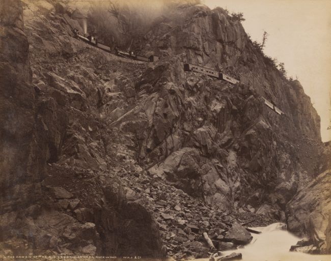
William Henry Jackson, In the Cañon of the Rio Las Animas near Rockwood, 1880-1884

Brian Schutmaat, Tonopah, Nevada, from the series Grays the Mountain Sends, 2011
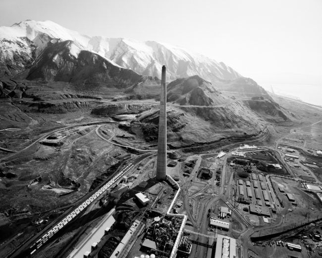
Michael Light, Garfield Stack, Oquirrh Mountains and Ancient Beach of Great Salt Lake from Bingham Mine/Garfield Stack
Drawing primarily from the vast permanent collection of photography at the San Francisco Museum of Modern Art, American Geography charts a visual history of land use in the United States. From the earliest photographic records of human habitation to the latest aerial and digital images, this compilation offers an increasingly nuanced perspective on human intervention in the American landscape by exploring how photography shaped conceptions of the land in the name of conservation, expansion, and exploitation.
Featuring work from Robert Adams, Dawoud Bey, Barbara Bosworth, Debbie Fleming Caffery, William Eggleston, Mitch Epstein, Terry Evans, LaToya Ruby Frazier, Emmet Gowin, Lee Friedlander, Dorothea Lange, An-My Lê, Trevor Paglen, Wendy Red Star, Mark Ruwedel, Victoria Sambunaris, Stephen Shore, Alec Soth, and Carleton E. Watkins, among others.
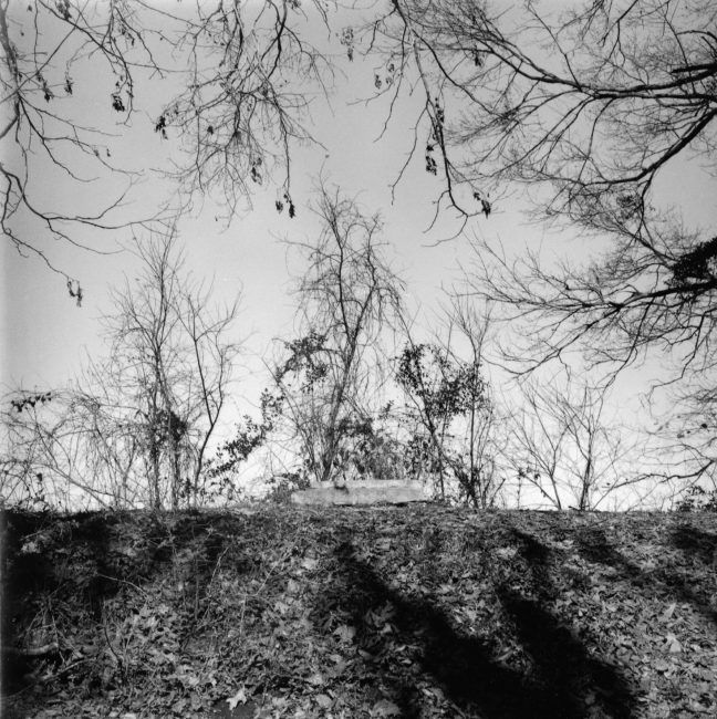
William Earle Williams, Fort Cobun Earthworks, Grand Gulf, Mississippi, from the series Unsung Heroes: African-American Soldiers in the Civil War, 1999
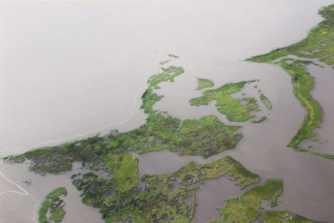
Zoe Strauss, Untitled from the series Sea Change, 2010
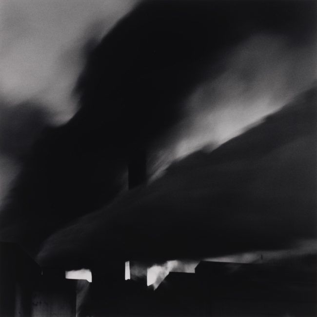
Debbie Fleming Caffery, Enterprise Sugar Mill, 1985
The list of artists included in the book spans various demographics, and many images have been created within the past decade. This speaks quite loudly about the choice to not limit the voices present in broader contemporary photography practice and avoids a distorted emphasis on certain spaces and their cultural importance. American Geography is an exploration of both current and historical photography in the documentary style which helps analyze and understand the evolving landscape photo tradition. The images and the locations presented pose the ever-present line of questions: What compels each artist to photograph the land, why did they photograph this place, and what does it contribute to our collective conversation about the land and how it is used?
Peter Galassi writes in his Aperture review of the book, “(American Geography) addresses without flinching what we Europeans have done to the land and the Native peoples of what we now call America, as well as to the people we brought here forcibly. It is not a pretty picture, and there is no escaping that this painful past and alarming present are contributing to a still more alarming global reality. And yet the book is, if not exactly beautiful, then richly eloquent—a powerful testament to photography’s uncanny capacity to reward the act of looking clearly at something that matters.”
It is important for readers to see the American landscape and real places. America looks very different than it did 100 years ago. It’s also important to remember that all these images are not literal images of specific places presented as objective facts — they’re subjective interpretations, personal perspectives put in context about how the world looks in the past and today.
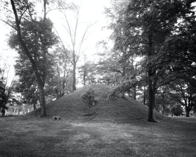
Barbara Bosworth, Mound Cemetery, Marietta, Ohio, from the series Mounds, 1988
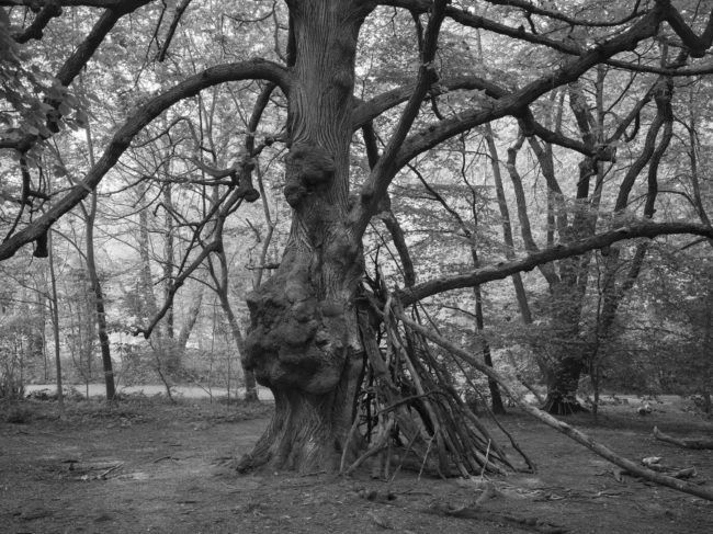
Stanley Greenberg, Corona Virus structure, Prospect Park, New York, 2020
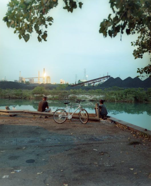
Gregory Halpern, Untitled, from the series A [Detroit, Michigan], 2009
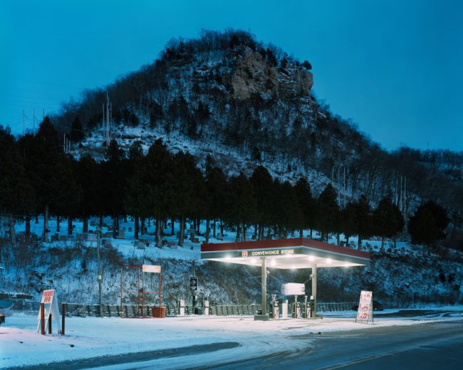
Alec Soth, Cemetery, Fountain City, Wisconsin, 2002
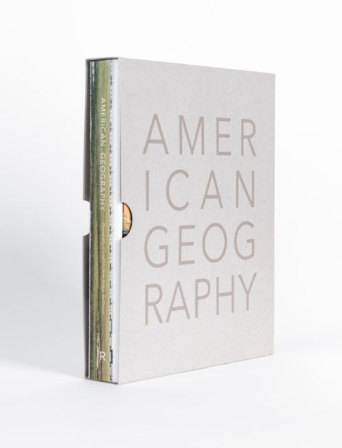
American Geography: Photographs of Land Use from 1840 to the Present
Published by Radius Books, 2021
Hardcover
9.5 x 12 inches
402 pages / 345 images
ABOUT THE AUTHORS
SFMOMA Curator Emerita Sandra S. Phillips provides an essay tracing the history of photography alongside the history of land use in the United States. National Book Award-winning author Barry Lopez writes a stirring introduction to the book, and Sally Martin Katz, Curatorial Assistant at SFMOMA, provides extended captions for a number of photographs. The publication also features original texts by a range of scholars who respond to key issues around land use in all parts of the US, including Beverly Dahlen (poet), Hilary Green (University of Alabama), Layli Long Soldier (poet and writer), Jenny Reardon (UC Santa Cruz), Richard White (Stanford University), and Richard B. Woodward (art critic and writer).
Location: Online Type: Book Review, Landscapes
Events by Location
Post Categories
Tags
- Abstract
- Alternative process
- Architecture
- Artist Talk
- Biennial
- Black and White
- Book Fair
- Car culture
- Charity
- Childhood
- Children
- Cities
- Collaboration
- Community
- Cyanotype
- Documentary
- Environment
- Event
- Exhibition
- Faith
- Family
- Fashion
- Festival
- Film Review
- Food
- Friendship
- FStop20th
- Gender
- Gun Culture
- Hom
- home
- journal
- Landscapes
- Lecture
- Love
- Masculinity
- Mental Health
- Museums
- Music
- Nature
- Night
- nuclear
- Photomontage
- Plants
- Podcast
- Portraits
- Prairies
- Religion
- River
- Still Life
- Street Photography
- Tourism
- UFO
- Water
- Zine

Leave a Reply